Zion National Park Day 2 - Lee Pass to Kolob Arch by Kenny & Kristen

Posted on 2019-05-11
We woke up dark and early to pack up camp, make 3 days worth of PB&J's, and head over to the visitor center to meet our ride for the day at 7 a.m. We ended up choosing [Red Rock Shuttle](https://redrockshuttle.com/) for a ride up to the top of Lee Pass. We did some brief research and they appeared to be the best price and most targeted to backpackers. It still put us out $40 each, but the service was super friendly and right on time. We had to actually drive outside of the park, through the neighboring towns of Hurricane and La Verkin and then reenter the park from the west entrance. The Lee Pass trailhead was about 5 miles from the West Entrance.
We ended up hitting the trail right around 8 laden down with heavy packs and full of excitement. That was the best that our feet and our backs felt for the next 3 days :)

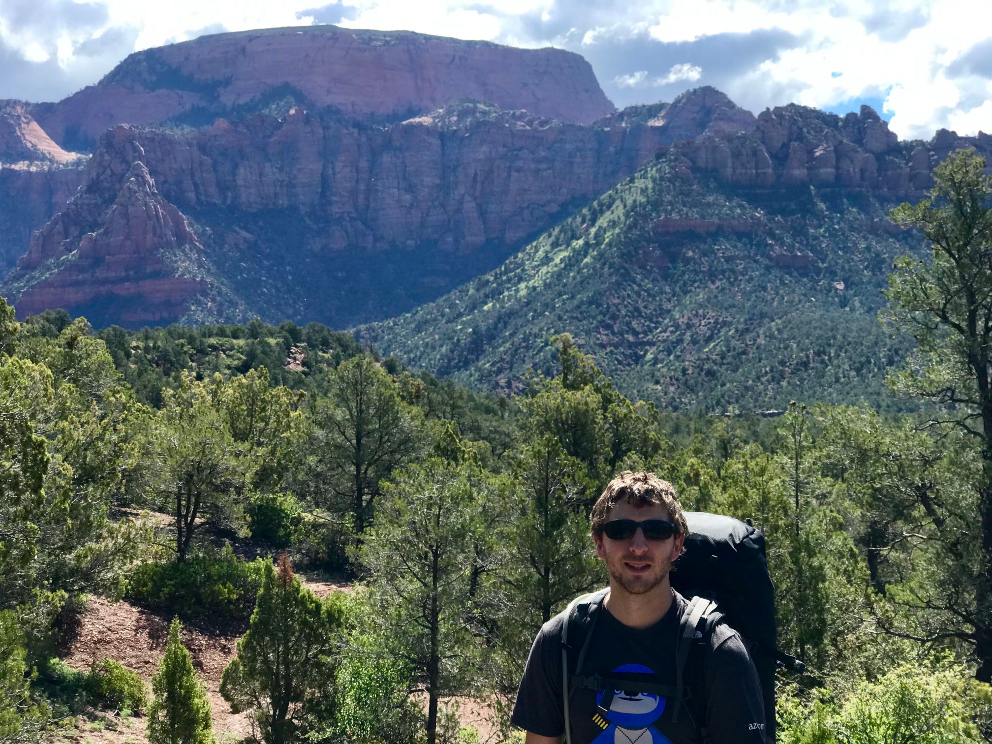
The plan for the day was to hike to our campsite (#6) which was about 1/2 mile from Kolob Arch. Then we would spend the afternoon exploring the arch and relaxing. The first part of the trail was mainly downhill and was pretty rough on the knees. About a mile in we got the first real look at the valley we were hiking into which offered some incredible views.
 We criss-crossed back and forth over La Verkin creek more times than we can count, but all of the crossings were shallow. The creek was also a great place to filter water. The best part of the hike was passing through all different types of landscapes. We moved from rocky red and green terrain dotted with wild flowers, to sandy desert, to forested paths.

We made it to our campsite by about 12:30. Unfortunately the campsite that we picked was on the other side of the creek and the water level had gone up significantly. We ended up having to cross the ~30ish degree, shin-deep water barefoot and it felt freezing! But once we got to the other side the campsite was super secluded and nice (but also full of biting flies and mosquitos).

After we pitched our tent and ate our PB&J we headed off for the last 1/2 mile of the hike to reach Kolob Arch. It was much steeper and rockier than the rest of the trail had been which made it feel a lot longer. All of the sudden we rounded a corner and the trail stopped abruptly. Off to the side was a small sign indicating the end of the path (I walked right by it at first). The arch was up and around the corner. We found a small trail to the right and were able to get to a slightly higher cliff with a more secluded view of the arch. The arch was marked as "potentially the largest" free standing arch in the US. It was really beautiful, but we were a little disappointed that we couldn't get any closer.

After that we attempted to relax for the rest of the day, which we're terrible at. Kenny about went crazy. Turns out we probably would have been better off sleeping in and taking the later shuttle or planning to hike further down the trail the first day :)
Search Posts by Tags
Labels
- national park
- backcountry
- backpacking
- Difficult
Quick Look:
I Want More!
Find this post interesting? Check out other posts from this section!